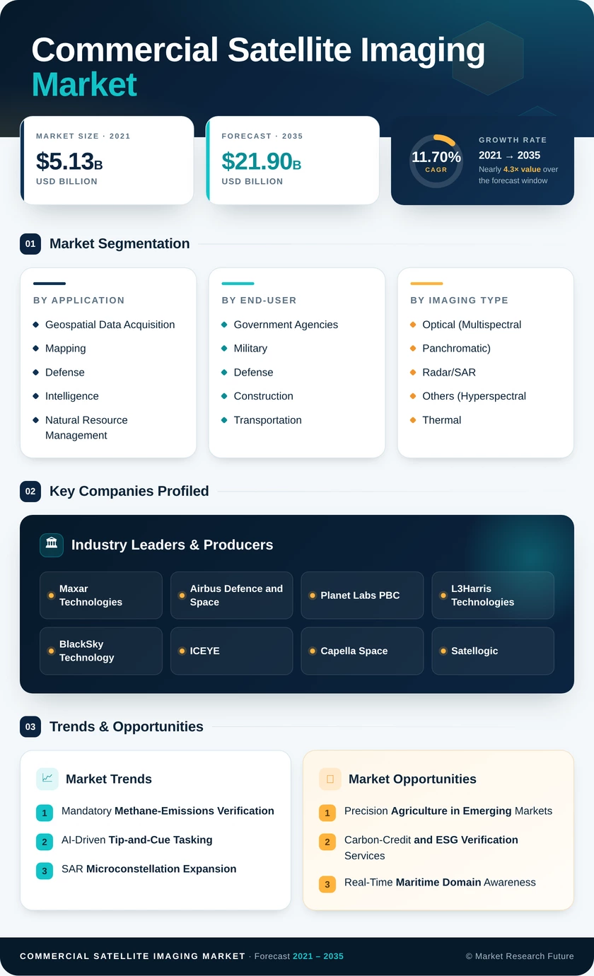
SEGMENTATION QUICK REFERENCE
| Dimension | Sub-Segments | Dominant Segment | Fastest Growing Segment |
| By Application | Geospatial Data Acquisition and Mapping; Defense and Intelligence; Natural Resource Management; Surveillance and Security; Others | Geospatial Data Acquisition and Mapping | Defense and Intelligence |
| By End-User | Government Agencies; Military and Defense; Commercial Satellite Imaging Market; Transportation and Logistics; Others | Government Agencies | Military and Defense |
| By Imaging Type | Optical (Multispectral and Panchromatic); Radar/SAR; Others (Hyperspectral, Thermal, LiDAR-Assist) | Optical (Multispectral and Panchromatic) | Radar/SAR |
| By Spatial Resolution | Below 0.3 m; 0.3 m to 1 m; Above 1 m | Below 0.3 m | 0.3 m to 1 m |
MARKET SEGMENTATION OVERVIEW
By Application
| Sub-Segment | Key Trend |
| Geospatial Data Acquisition and Mapping | Digital-twin and 3D-basemap creation are driving recurring tasking orders |
| Defense and Intelligence | Multi-domain ISR integration and classified-access premium tasking |
| Natural Resource Management | Methane-verification mandates and deforestation-alert systems |
| Surveillance and Security | Critical-infrastructure perimeter monitoring via change detection |
| Others | Insurance loss assessment, media geo-referencing, and academic research |
Geospatial data acquisition and mapping remains the broadest application category, anchoring demand from national mapping agencies, utility-corridor planners, and digital-twin builders who require regularly refreshed basemaps at sub-meter accuracy.
By End-User
| Sub-Segment | Key Trend |
| Government Agencies | Shift from per-image procurement to enterprise-license subscriptions |
| Military and Defense | Long-duration classified contracts with high per-image pricing. |
| Commercial Satellite Imaging Market | Site-progress monitoring integrated into BIM workflows |
| Transportation and Logistics | Port congestion tracking and route-hazard assessment |
| Others | Energy asset monitoring, crop-insurance verification, and academic use |
Government agencies and military buyers together account for the largest share of procurement value, with enterprise-license agreements increasingly replacing ad-hoc tasking orders across both segments.
By Imaging Type
| Sub-Segment | Key Trend |
| Optical (Multispectral and Panchromatic) | Mature algorithm ecosystem; broadest end-user adoption |
| Radar / SAR | All-weather, day-night capability; rapid constellation growth |
| Others (Hyperspectral, Thermal, LiDAR-Assist) | Mineral identification, water-quality analytics, urban heat-island mapping |
Optical systems maintain dominance through deep ecosystem interoperability, while SAR platforms are closing the gap as analytics layers abstract away phase-history complexity for non-specialist buyers.
By Spatial Resolution
| Sub-Segment | Key Trend |
| Below 0.3 m | Defense-grade premium tasking; highest per-image pricing |
| 0.3 m to 1 m | Sweet spot for commercial infrastructure and agriculture analytics |
| Above 1 m | Wide-area environmental monitoring and weather services |
Sub-0.3-meter imagery sustains premium pricing tied to defense-grade tasking requirements. At the same time, the 0.3 m to 1 m band represents the fastest-growing tier as commercial analytics buyers realize this resolution meets most monitoring needs at substantially lower cost per square kilometer.